
Buy PDF guide

Buy PDF guide — 19.28 USD

PDF — 19.28 USD

Hesse, Lower Saxony, Bremen Weser: Hann. Münden - Bremen - North Sea Difficulty: Easy - River route.

Hesse, Lower Saxony, Bremen Weser: Hann. Münden - Bremen - North Sea Difficulty: Easy - River route.

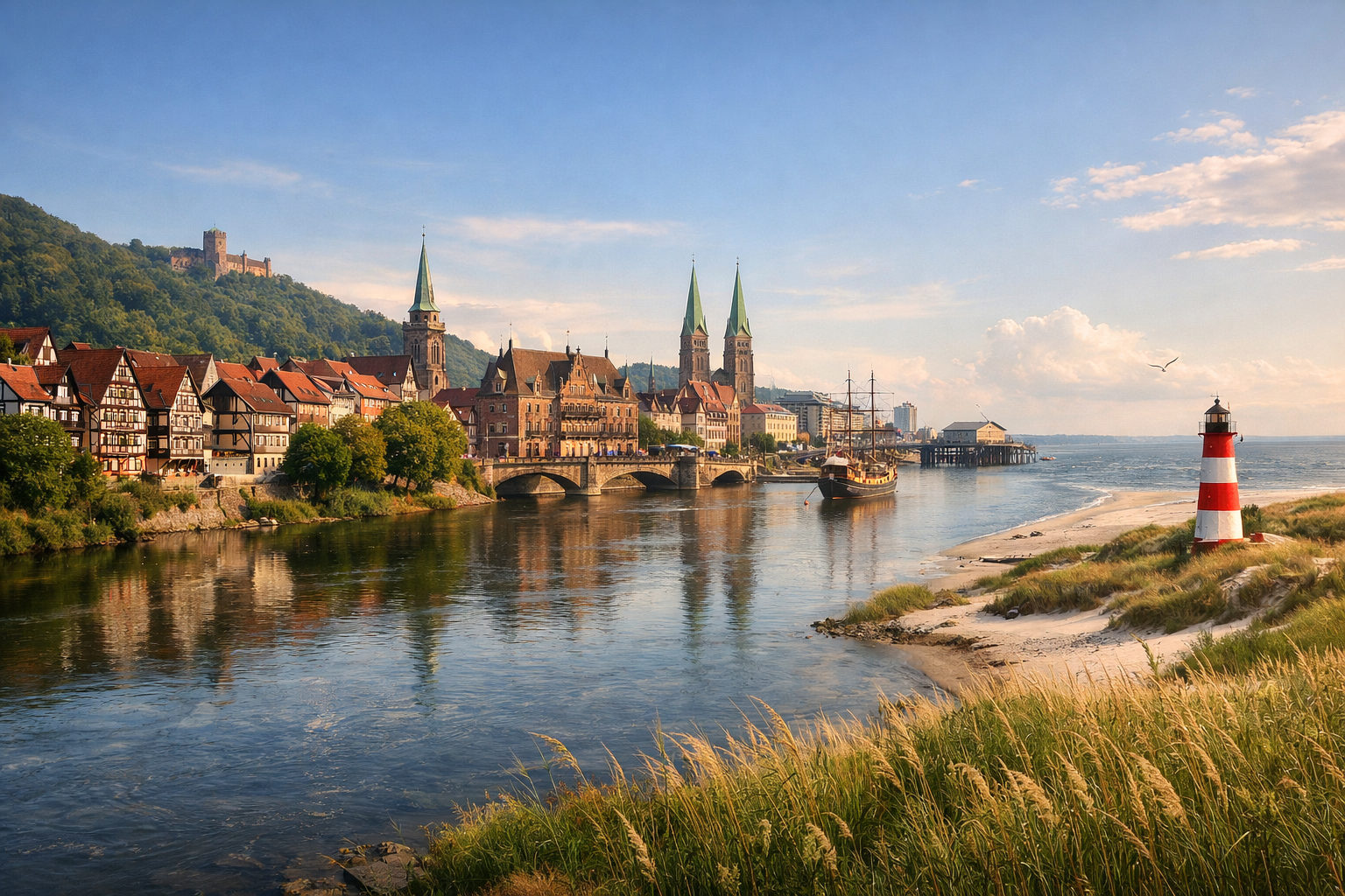
Follow the Weser from the half-timbered charm of Hann. Münden through fairytale towns and wide river meadows to the maritime flair of Bremen and Bremerhaven. This easy route offers relaxed cycling, gentle landscapes, and a rewarding finish where the river meets the North Sea.

🚲 ROUTE BY DAY

Ready-made country and city routes with daily plans, sights, transport and accommodation. Buy PDF guides for independent travel.

🚲 ROUTE BY DAY


Day 1 — Hann. Münden → Bad Karlshafen: a beautiful start at the source of the Weser

  • 🚲 Start from Hann. Münden at the confluence of the Fulda and Werra, where the Weser begins, then follow the official Weser-Radweg at an easy pace to Bad Karlshafen. About 46 km, pure riding time 3–4 hours, elevation gain is small — around 180–250 m, as this is a river route, though with short rolling sections near small villages and bridge approaches. Surface is mostly asphalt and good bike dirt/compact gravel, with some embankments and quiet rural roads. Difficulty: easy. Main stops along the way: Gieselwerder as a convenient riverside break, Beverungen or nearby river sections for coffee and water, and the final historic approach into baroque Bad Karlshafen. It is convenient to stock up on water and food in central Hann. Münden before the start, then in villages along the river and in Bad Karlshafen. Overnighting makes sense in Bad Karlshafen or neighboring Oedelsheim if you want a quieter base. Road nuances: it is better to set out early in the morning to pass the tourist sections near the old town calmly; after rain, some unpaved stretches by the water may be damp, but overall the route is safe and widely used by cycle tourists. The day is realistic for an average tourist because the distance is moderate, the profile follows the river, and services appear regularly along the way.


Day 2 — Bad Karlshafen → Höxter: calm riverbanks and monastic scenery

  • 🚲 Today is a short and very comfortable stage along the Weser to Höxter. About 38 km, pure riding time 2.5–3 hours, elevation gain around 120–180 m. Surface: asphalt cycle paths, river embankments, local rural roads without heavy traffic, and some smooth gravel. Difficulty: easy. Main stops: Beverungen as a convenient coffee break, Corvey with its outstanding former Benedictine abbey and green riverfront area, and then the old center of Höxter. Water and snacks are easy to get in Bad Karlshafen, Beverungen, and Höxter; in summer there is little shade on open river sections, so it is best to fill bottles in advance. It is best to stay overnight in Höxter so you can stroll through the old town in the evening without rushing. Road nuances: on some sections you can choose the bank, so it makes sense to follow Weser-Radweg navigation and avoid drifting onto car bypass roads; after spring river flooding, some low sections may be damp. The day is very realistic: it is a flat, tourist-friendly, and undemanding distance, well suited both for a regular bicycle and for an e-bike.

Day 3 — Höxter → Hameln: longer, but still an easy river transfer

  • 🚲 This stage is longer, but almost entirely follows the clear flow of the Weser. From Höxter we head toward Bodenwerder and then on to Hameln. About 66 km, pure riding time 4.5–5.5 hours, elevation gain usually within 220–320 m. Surface is mixed: asphalt, smooth riverside gravel, some embankments, and quiet roads through villages. Difficulty: easy for a prepared tourist and the lower end of moderate for a beginner, but thanks to the small elevation gain the day remains comfortable. Main stops: the Corvey area/surroundings of Höxter for a morning warm-up, Bodenwerder as a logical lunch stop, and the historic center of Hameln at the finish. Water and food are best replenished in Bodenwerder and before entering Hameln; shops and bakeries appear regularly. Overnighting is best in Hameln, where there are many services and it is convenient to check the bicycle. Road nuances: with a headwind across the open river meadows, time in the saddle increases noticeably; in Hameln itself, you need to ride more carefully in the urban environment and avoid rushing into pedestrian zones. The day is realistic because the route is very flat and safe, and the long distance is offset by good surface quality and the absence of serious climbs.

Day 4 — Hameln → Stolzenau: the Middle Weser, fields, and quiet dikes

  • 🚲 After lively Hameln, the route becomes even calmer: we follow the Middle Weser toward Stolzenau. About 63 km, pure riding time 4–5 hours, elevation gain only around 100–170 m. Surface: mostly paved cycle paths and quiet roads on dikes, with some smooth gravel. Difficulty: easy. Main stops: Rinteln or the area of further river villages as the first break, Petershagen or a similar midpoint for lunch, then a peaceful arrival into Stolzenau. Water and food are convenient to get in Hameln before the start and in intermediate towns; on long dike sections there are fewer services than on the tourist-heavy upper course. You can stay overnight in Stolzenau or nearby along the route if quiet and an early start matter to you. Road nuances: open sections are very sensitive to wind and summer sun, so sunscreen, a cap under the helmet, and a water reserve are useful; mosquitoes are possible in the evening near wet meadows. The day is realistic for an average cycle tourist because the profile is practically flat, the route is logical, and 60+ km on such roads goes by calmly.

Day 5 — Stolzenau → Nienburg/Weser: the easiest long day

  • 🚲 We continue through the broad Weser valley toward Nienburg/Weser. About 44 km, pure riding time 2.5–3.5 hours, elevation gain is symbolic — around 60–120 m. Surface is mainly smooth asphalt, rural cycle paths, and protective dikes. Difficulty: easy. Main stops: Leese or nearby villages as a short morning break, riverside viewpoints on the Middle Weser, and the old town of Nienburg. Water and food are easy to replenish in the small settlements along the way, while a full lunch and evening logistics are best handled in Nienburg. Overnighting is optimal in Nienburg/Weser, where it is easy to rest, buy supplies, and if necessary have the bike checked in a workshop. Road nuances: in wet weather, cool crosswinds may blow from the dikes; after agricultural work there is sometimes mud on short access points to local roads. The day is very realistic and suits even a less experienced tourist: the mileage is moderate, navigation is simple, and there is plenty of time left for a walk and bicycle maintenance.

Day 6 — Nienburg → Verden: river meadows and the horse town

  • 🚲 Today we move through quiet Lower Saxony toward Verden (Aller), where the proximity of a major northern German river hub is already noticeable. About 57 km, pure riding time 3.5–4.5 hours, elevation gain around 80–140 m. Surface: good asphalt, dikes, some gravel sections, and quiet connecting roads. Difficulty: easy. Main stops: Hoya as a convenient midpoint, several panoramic stretches along the Weser meadows, and the historic center of Verden. Water and food are easiest to get in Nienburg before the start and then in Hoya; on a hot day across open windy stretches between settlements, do not skimp on water. It is best to stay overnight in Verden, since the town works well as a full base with a station, groceries, and accommodation. Road nuances: watch the markings carefully, because here there are alternatives on both banks and local deviations via farm roads; after rain some short sections may be muddy, but not dangerous. The day is realistic thanks to the flat profile and the good distribution of services along the route.

Day 7 — Verden → Bremen: entering a bicycle city

  • 🚲 The transfer to Bremen is one of the most pleasant stages of the whole tour. About 53 km, pure riding time 3–4 hours, elevation gain around 70–120 m. Surface is mostly paved cycle paths, suburban green corridors, dike sections, and urban embankments. Difficulty: easy. Main stops: Achim as a convenient break before the city, green river sections before entering Bremen, then Schlachte and the historic center by the Town Hall and Roland. Water and food are easy to replenish almost all day: there are noticeably more services than on the previous rural sections. It is best to stay in central Bremen or near the embankment/station so you can walk conveniently without the bike in the evening. Road nuances: closer to Bremen there is more urban traffic and more pedestrians, but the cycling infrastructure is strong; in the center it is important to respect pedestrian zones and dismount when necessary. The day is realistic because the distance is moderate, the route is well developed, and the Bremen agglomeration itself is convenient for arrival by bike.

Day 8 — Bremen → Bremerhaven: a long northern straight toward sea air

  • 🚲 This is the longest day of the route, but it is justified by the almost flat profile and the clear line of the Weser-Radweg/Bike It! toward Bremerhaven. About 69 km, pure riding time 4.5–5.5 hours, elevation gain usually no more than 90–140 m. Surface: asphalt, good suburban cycle paths, dikes, and quiet roads through northern villages. Difficulty: easy for an experienced cycle tourist and moderate for a beginner only because of the length. Main stops: Lemwerder or Elsfleth as a convenient early break, Brake as a good lunch stop, and the finish in the maritime scenery of Bremerhaven. Water and food should be replenished in Brake and before the long open dikes; with a north wind or rain, the effort feels stronger than the profile suggests. Overnighting is best in Bremerhaven near Havenwelten or the station, so you can make a short final ride to the North Sea the next morning. Road nuances: wind is the main factor of this day; if the forecast is poor, it is worth setting out early or keeping a backup option with a regional train for part of the way. The day is still realistic because the terrain is almost absent, the road is safe, and the long distance is not connected with mountains or dangerous highways.

Day 9 — Bremerhaven → the mouth of the Weser and the North Sea: final coastal loop

  • 🚲 The final day is best kept short and atmospheric: from Bremerhaven ride through Havenwelten, the embankments, and to the seaward edge at the mouth of the Weser, optionally using the Weserfähre as an extra maritime link to Nordenham/Blexen and back. The basic option without the ferry is about 28–35 km, pure riding time 2–2.5 hours, with almost zero elevation gain. The option with the ferry and a short ride along the opposite bank is about 35–45 km. Surface: urban cycle paths, embankments, dikes, and port sections with good pavement. Difficulty: easy. Main stops: Havenwelten, the SAiL City observation platform/Klimahaus area, estuary views toward the North Sea; if taking the ferry, there is also a short sea crossing as a final highlight. Water and food are easy to replenish in Bremerhaven, at the tourist harbor, and on the final urban sections. Overnight stay — in Bremerhaven; this is also convenient for departing by train. Road nuances: the ferry runs on a schedule, and it must be checked in advance; the Deutschland-Ticket is not valid on the Weserfähre. On sea dikes the wind can be very strong even in summer, and in rain the perceived temperature drops sharply. The day is realistic because after the long northern stage the day before, it provides a beautiful finish without overload, but with a genuine maritime finale.

Flight tickets

eSIM for travel

Buy PDF guide

Buy PDF guide — 19.28 USD

PDF — 19.28 USD