
Buy PDF guide

Buy PDF guide — 12.85 USD

PDF — 12.85 USD

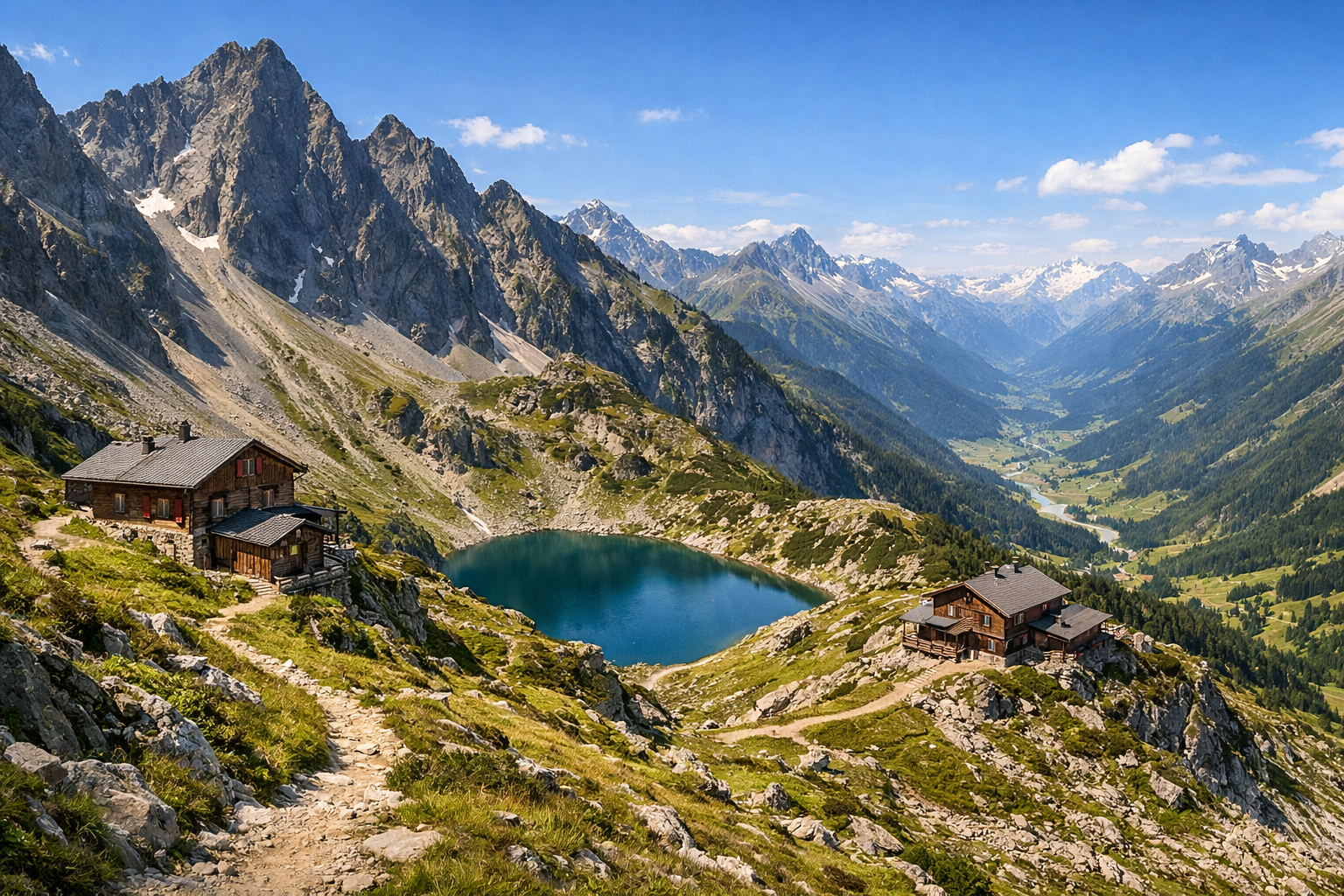
Austria, Tyrol. A six-day hiking trek along one of the most scenic sections of the Adlerweg trail, with alpine passes, mountain lakes, valley panoramas, and overnight stays in mountain huts. Difficulty: moderate or high. Season: July - September.

Austria, Tyrol. A six-day hiking trek along one of the most scenic sections of the Adlerweg trail, with alpine passes, mountain lakes, valley panoramas, and overnight stays in mountain huts. Difficulty: moderate or high. Season: July - September.

Discover Tyrol on a six-day trek along one of the most spectacular stretches of the Adlerweg, where alpine passes, emerald mountain lakes, and sweeping valley views unfold day after day. This rewarding route loops from Hall in Tirol through the wild beauty of the Karwendel, with unforgettable nights in traditional mountain huts from July to September.

🥾 ROUTE BY DAY

Ready-made country and city routes with daily plans, sights, transport and accommodation. Buy PDF guides for independent travel.

🥾 ROUTE BY DAY


Day 1 — Hall in Tirol: acclimatization in the Wolfsklamm gorge

  • 🥾 On the first day, it is convenient to stay in Hall in Tirol and take a beautiful warm-up walk through the Wolfsklamm gorge and forest canyon near the village of Stans. The active part of the day usually takes 2.5–4 hours depending on pace and whether you climb up to St. Georgenberg monastery. This is not a section of the Adlerweg, but an excellent introductory walk before the multi-day trek: a narrow gorge, wooden galleries above the water, roaring cascades, shady forest, and rock walls create a very “alpine” mood from day one. The difficulty is moderate: there are steps and wet sections, but the route is well known, popular, and suitable for an ordinary tourist in trekking shoes without special gear. For most hikers, it is reasonable to expect a distance of about 5–7 km with around 300–400 m of ascent depending on the return option. In summer, it is comfortable to walk here in the morning while the gorge is still cool; after rain, the walkways may be slippery, so poles and careful footing are more useful than rushing. Before setting out, it is worth checking opening and entry hours for the gorge, and in the evening it is best to rest well, because from there the route moves into the true high valleys of the Karwendel.


Day 2 — Eng and Großer Ahornboden: a valley of maples and a gentle introduction to the Karwendel

  • 🌲 The second day is devoted to the broad mountain valley, alpine meadows, and Karwendel panoramas around Eng Alm and Großer Ahornboden. This is one of the most scenic and at the same time most friendly corners of the route for an ordinary hiker: people come here not for extreme adventure, but for a pastoral alpine landscape, old mountain maples, pastures, and calm scenic trails. After the transfer from Hall to the Eng area, you can take an easy or moderate walk for 2–4 hours along the marked local paths: across the Ahornboden flats, to valley viewpoints, or on short stretches toward Enger Grund. If you want to save energy before the hut days, it is best to keep this as an easy day with a distance of 6–10 km and only a small elevation gain of 100–300 m. The route is ideal for an ordinary tourist: the trails are obvious, the landscape is open, navigation is simple, and an overnight stay at Eng Alm offers a rare chance to spend the evening in a high-mountain valley without a tent and without a difficult ascent. Seasonally, it is important to remember that by July everything is already green here, but after downpours it can be wet, and by September the evenings become noticeably colder; accommodation in Eng and the following huts is best booked in advance, because this area is very popular.

Day 3 — Eng → Karwendelhaus: a classic Adlerweg hut-to-hut stage

  • 🏔️ The third day is the first full valley-and-mountain stage on the Adlerweg with an overnight stay in a hut. From the Eng area, the route follows one of the most beautiful parts of the Karwendel toward Karwendelhaus: wide alpine valleys, mountain streambeds, green pastures, the gradually increasing severity of limestone walls, and the feeling of a truly vast mountain landscape. For an ordinary hiker without mountaineering skills, this day is realistic if you have good fitness, because the trails are marked and popular, and there are no technically dangerous sections on the standard option. Plan for 6–7.5 hours of active walking, roughly 18–22 km, and about 700–900 m of ascent depending on your chosen approach from Eng and the final approach to the hut. The difficulty is moderate/high not because of technique, but because of the length and accumulated fatigue. That is exactly why this tour suits ordinary hikers who are ready to walk for a long time but do not want to deal with glaciers, rock climbing, or via ferrata. July and early September are usually best: early in the season, damp patches and remnants of snow may still remain on shady sections higher up, and in bad weather visibility in the valleys drops, so it is worth starting early. At Karwendelhaus, you need to book in advance and remember hut etiquette: early dinner, quiet in the evening, and a basic overnight kit for sleeping in a mountain hut.

Day 4 — Karwendelhaus → Hallerangerhaus: the most spectacular and longest valley stage

  • ⛰️ The fourth day is the main panoramic highlight of the tour: a long crossing through the heart of the Karwendel from Karwendelhaus to Hallerangerhaus. This is a day for lovers of vast mountain spaces, high saddles, changing valleys, and the feeling of complete immersion in the Alps. According to the official Adlerweg descriptions, this stage is considered one of the longest: it is reasonable to allow 8–8.5 hours of walking, about 14 km, and a cumulative elevation change of around 1440 m for the stage. The difficulty is high in terms of endurance, but not technical: in dry weather and normal summer conditions, it is still a marked route for a strong walker without special gear. The contrasts are especially good here: karst slopes, mountain streams, high valley bowls, and then a gentler approach to the hut on Kohlerboden. This day suits an ordinary tourist only if the participant is already used to long mountain stages and is hiking light; if the weather worsens, it is important to discuss trail conditions and alternatives with the hut hosts. In July, dampness, fog, and lingering snow patches are possible in higher parts early in the season, while in September the day is shorter, so it is very important to start early and not drag out the breaks.

Day 5 — Hallerangerhaus → Scharnitz: descent through the forested valleys of the Karwendel

  • 🌿 The fifth day makes the route gentler: after two nights in huts, it is a long but calmer descent through valleys, forests, and riverbeds toward Scharnitz, the western gateway to the Karwendel. This is no longer a dramatic pass day, but a beautiful endurance hike with constantly changing perspectives: alpine meadows gradually give way to conifer forest, the river accompanies the trail, and the landscape becomes more accessible and “lower.” The active part usually takes 5.5–7 hours; roughly 16–20 km with mostly descent and moderate local climbs. The difficulty is moderate: because of the distance, your legs get tired, but technical obstacles, special gear, and difficult navigation are usually not required. For an ordinary tourist, this is one of the most comfortable ways to finish the hut section, because the finish in Scharnitz gives direct access to the train and civilization. If you still have time and energy, you can stop by the Naturpark-Infozentrum Scharnitz — a convenient place to learn about the wildlife of the Karwendel and check current trail conditions. In rainy weather, it is more important on the descent to protect your knees and not rush on wet stones and roots.

Day 6 — Innsbruck’s Zirbenweg: a panoramic high trail as a farewell

  • 🌄 The final day is one of the most beautiful and logical panoramic hikes in Tyrol: the Zirbenweg, which officially follows a section of the Adlerweg above Innsbruck between Patscherkofel and Tulfeinalm. After returning by train from Scharnitz to Hall or Innsbruck, this route gives the perfect finish to the journey: a high-altitude panoramic trail among old stone pines, meadows, open slopes, and wide views over the Inn Valley. With the help of cable cars, the route becomes realistic even for a hiker tired after a multi-day trek: the active part takes 4.5–5.5 hours, the distance is about 13 km, and the elevation gain is around 1000–1100 m according to the full stage description, though in practice the load is significantly reduced if you go up by cable car. The difficulty is moderate: the trail is well known, popular, easy to follow, and does not require special gear. This is an excellent compromise between genuine alpine views and the safety of an ordinary hiking trip. In July, it can be hot on the sunny slopes, so you need water and sun protection; in September, the weather is often clearer, but the morning is colder. Be sure to check the operating hours of Patscherkofelbahn and Glungezerbahn so you do not miss the last cabin or the bus connection between Tulfes and Igls.

Flight tickets

eSIM for travel

Buy PDF guide

Buy PDF guide — 12.85 USD

PDF — 12.85 USD